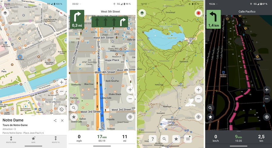
 CoMaps is een opensource en communitydriven navigatieapp voor Android en iOS. Het werkt met de kaarten van OpenStreetMap, is gemaakt om zonder internetverbinding te kunnen werken, doet niet aan tracking, verzamelen van data of tonen van advertenties. Verder gebruikt het weinig resources en is het heel transparant over hoe de organisatie erachter wordt gefinancierd en bestuurd. Het is verkrijgbaar via de officiële Google Play Store en Apple Store, maar ook in de alternatieve appstores van F-Droid, Obtainium en Codeberg. Versie 2025.08.13-8 is uitgekomen en hier zijn de volgende veranderingen en verbeteringen in aangebracht:
Android:iOS:
- Update search categories icons
- Fix Donate button in the hamburger menu
- Update icons in the maps downloader
- Android Auto: respect the search history setting
- Improve layouts for RTL languages
- Avoid duplicate background OSM uploads
- Fix occasional necessity to re-install from Google Play to change app language
- Round map download percentage
- Adjust intermediate stops UI icons color
- Refactor android project structure to have an SDK
- Migrate to material components
General:
- Add a setting for map language
- Now respecting the language order set in the system for map items
- Better display of long translations with empty search results
- Change how the authorization check after editing is handled
- Remove celebratory alert after editing
Map:
- Add many search abbreviations like st. or av. for many languages
- More smooth position arrow movements
- Save track altitudes and open the track's info page on saving
- More search aliases for various map features
- Support Irish postcodes in the editor
- Improve default map language choice
- Fix Add to OpenStreetMap crosshair jump
- Fix pre-defined categories search for unsupported languages
- Don't ignore minor roads at roundabouts
- Fix random weird map colors bug
- Improve water color, waterways and associated labels legibility
- Stronger distinction between forest, scrub and grassland colors
- Green color for dog parks
- Upgrade altitude contour lines to 20m step for some popular hiking regions
- Improve general and pedestrian areas visibility
- Adjust water and parking search category icon
- Add/update search and bookmark icons for fast food, bicycle, charging stations, and fuel
- Add escape games
- Add luggage lockers and covered bicycle parkings
- Add ranger stations and post office partners
- Add labels to garages and retail areas
- Add color fills to bicycle and motorcycle parkings, visitor centers and ranger stations
- Update aerialway station icon
- Switch food courts to fork and knife icon

:fill(white):strip_exif()/i/2007677396.jpeg?f=thumbmedium)
/u/14460/despicable_me.png?f=community)
:strip_exif()/u/213834/crop5e00d6d4a2218_cropped.gif?f=community)
/u/123790/crop563cad3a10a9c_cropped.png?f=community)
/u/268967/crop5e8a0fac1d139.png?f=community)
:strip_icc():strip_exif()/u/77607/crop5a9924c9496fb_cropped.jpeg?f=community)
/u/83736/crop68eea12e99023_cropped.png?f=community)
:strip_icc():strip_exif()/u/14375/crop5b37355e6e78c_cropped.jpeg?f=community)
:strip_icc():strip_exif()/u/1318158/crop5e1075885f3cd.jpeg?f=community)